|
<< Click to Display Table of Contents >> Geographical sites |
  
|
|
<< Click to Display Table of Contents >> Geographical sites |
|
(go directly to our Notes on Meteo)
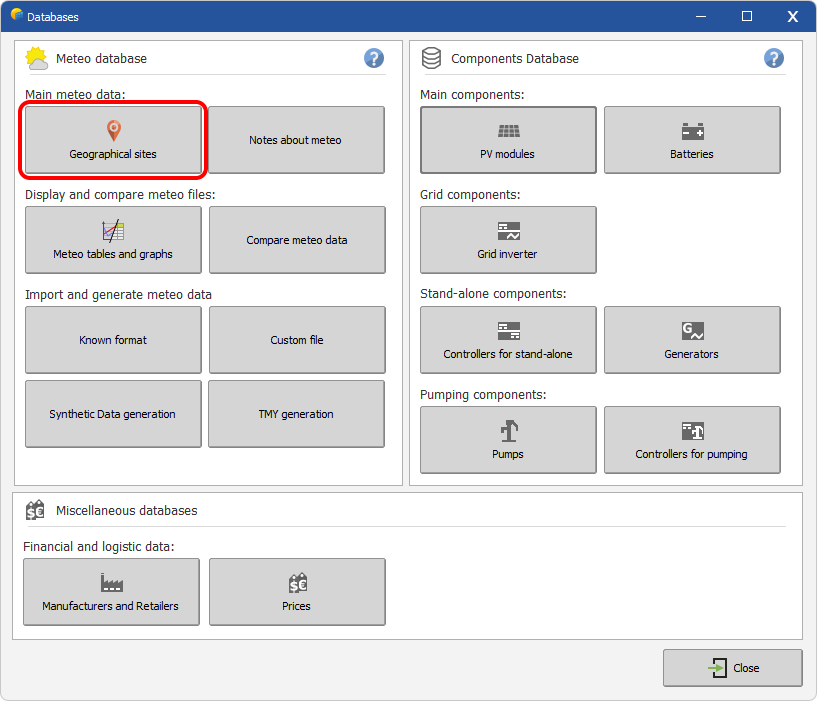
The "Geographical sites" section of PVSyst gives the possibility to visualize/modify data from existing sites or to create a new geographical site. In PVsyst, a geographical site has a specific definition and it is important to understand what it means (follow the link).
Keep in mind that ANY LOCATION on the planet can be created in PVsyst.
The specificity of this section is to provide a basic monthly meteo data for any location, using
- an interpolation method, from the METEONORM DLL or
- a "closest" point method, using the NASA-SSE world 1°x1°-grid (1°lat = 111 km)
API-based services are also made available to directly import the monthly data.
The data for geographical sites will be stored in *.SIT files.